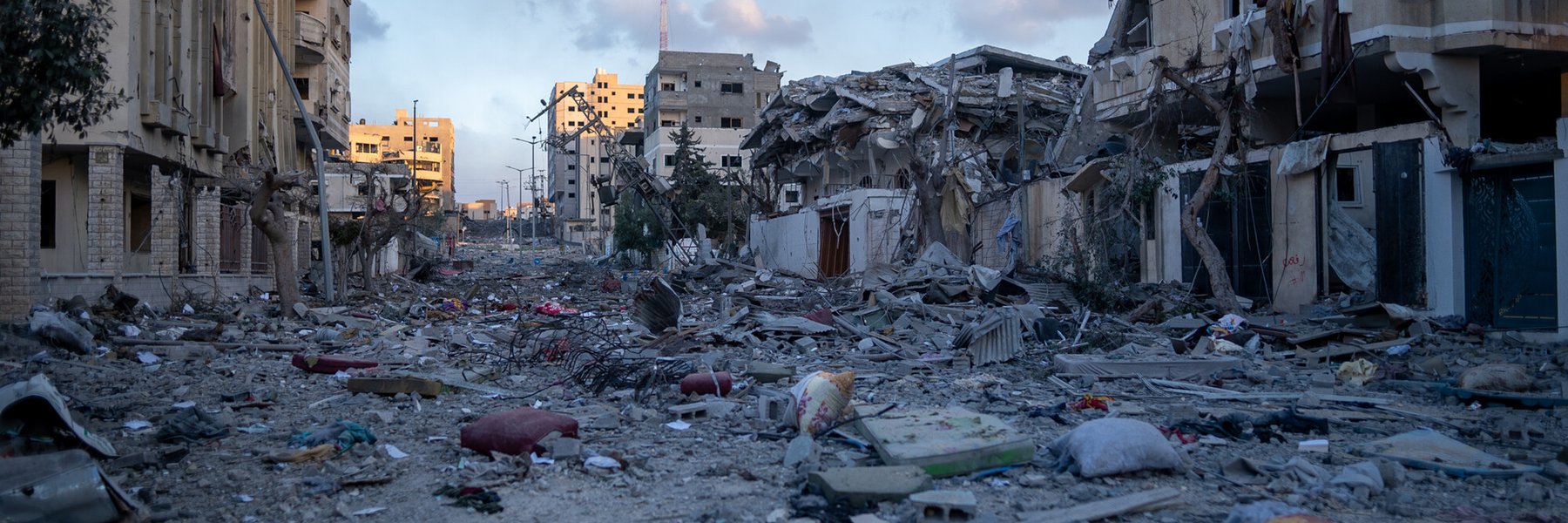
Destroyed buildings in Gaza. Image: Marwan sawwaf/Alef MultiMedia/Oxfam
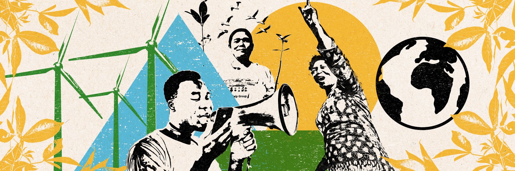
We are Oxfam
Let's beat poverty together
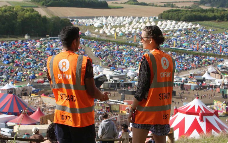
Oxfam in Action
We are a global movement of millions of people working together to end poverty.
-
Safe, clean water for all
-
Food for all
-
Tackling climate change
-
Women and gender justice
-
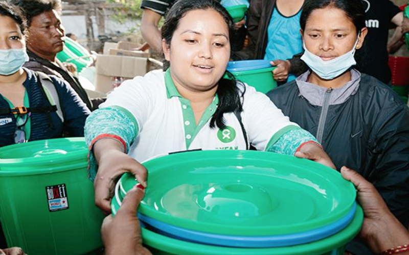
Responding to emergencies
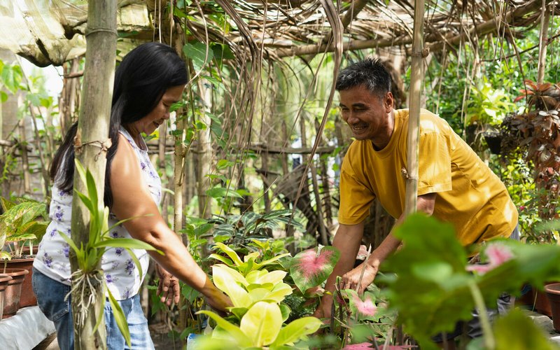
“We have a vision to grow bigger” Magdelene, Sierra Leone. Credit:Nana Kofi Acquah/Oxfam. Perk, graphic designer and climate activist. Credit:Oxfam. Rowena planting mangrove saplings in a restoration project, Phillippines. Credit:Elizabeth Stevens/Oxfam.
Your support makes it possible
You can help, in your way
For every £1 we spend
81%
is spent fighting poverty
12%
is spent on vital support costs
7%
goes towards raising the next £1
12% goes towards vital support costs
Just 12p in every £1 is used to keep Oxfam alive; paying our staff and our running costs.
7% goes towards fundraising
For every £1 we spend, 7p is invested on generating future income, helping us to fund even more vital work.
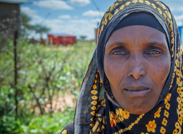
"We drink it, we cook with it, it is essential. Life means having water." Amina, shop owner, in climate crisis-affected Ethiopia. Photo: Petterik Wiggers/Oxfam.
Help support communities in East Africa fight the drought
Extreme drought appeal
We drink it, we cook with it, it is essential. Life means having water.
Amina in Ethiopia