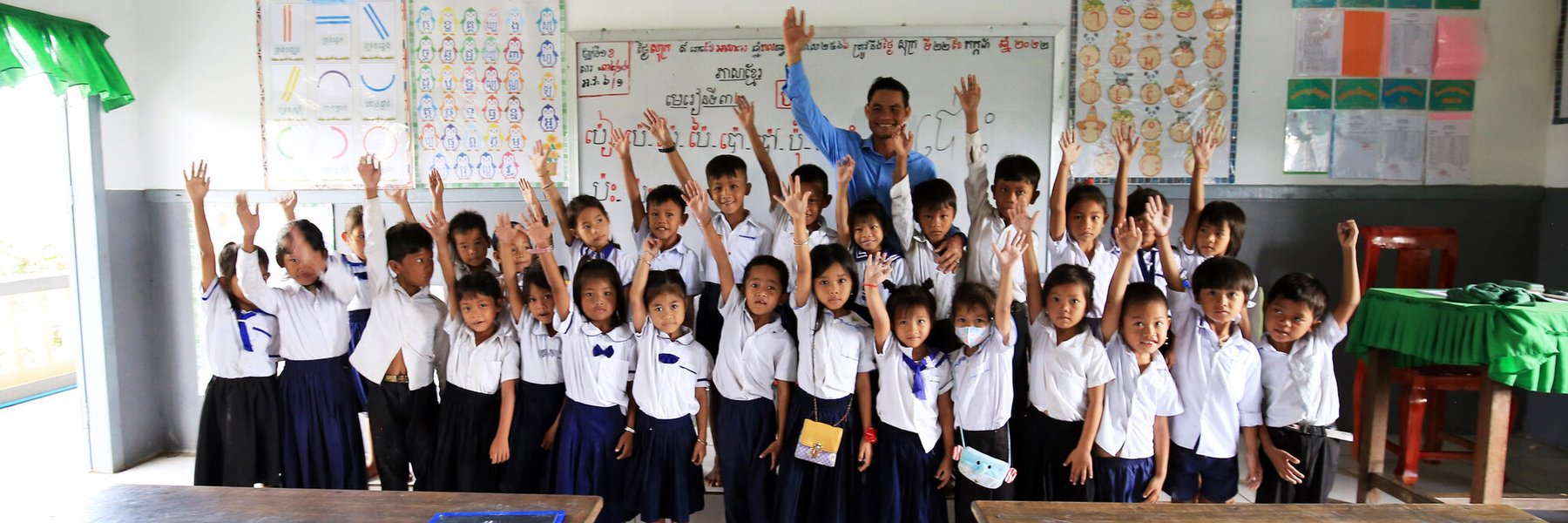
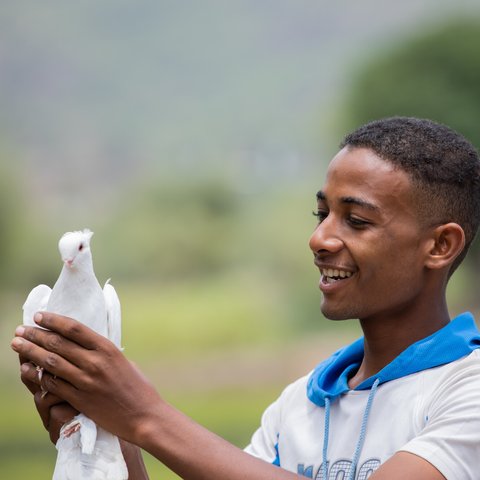
Photo credit: Banung Ou/Oxfam
Global Citizenship for teachers
Education
Teaching resources
Free activities and ideas for active global citizenship in the classroom and beyond.
Home learning activities
Global learning at home, in the classroom or wherever you are!
What we do
At Oxfam, we support young people to be active global citizens, creating a fairer, more secure and sustainable world for everyone.
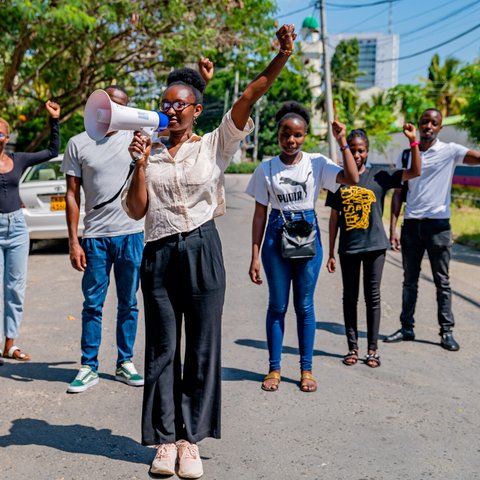
Youth action
We've developed lots of ways for young people to participate in the world around them and take action for change.